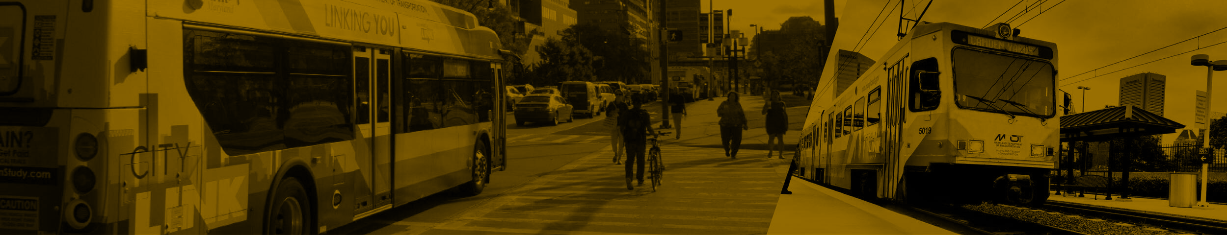
East-West Corridor Study
OVERVIEW
Based on the East-West Corridor study, the Red Line project is being relaunched. Click here to learn more.
The East-West Corridor Study is part of the Central Maryland Regional Transit Plan (RTP), a 25-year plan for improving public transportation in Central Maryland. MDOT MTA, in partnership with Baltimore City, Baltimore County, and Howard County, has spent the last year identifying the range of options (also known as Alternatives) that best serve existing and future transit demand between Bayview and Ellicott City. Click here to find out more about the overall Corridor Study process, including information about why this corridor study area was identified as a top priority by the RTP Commission.
During Winter 2022/23, MDOT MTA, along with its regional partners and decisionmakers, will identify alternatives to be studied in the Alternatives Analysis (AA) phase, based on the results of this Feasibility Study. In Spring/Summer 2023, the Project Team will present alternative alignments, modes and station locations and the public engagement plan for stakeholder and public feedback. Additionally, the project team will initiate coordination with outreach advisory groups, stakeholders likely to be served by a stop on one or more alternatives, and environmental agencies. The AA phase is expected to take one to two years to complete, depending on the number and complexity of alternatives included for study, and will ultimately reach a preferred alternative.
ALTERNATIVES AT A GLANCE
Alternative 1
Bus Rapid Transit from Bayview to Ellicott City via Johns Hopkins Hospital and CMS/SSA.
Alternative 2
Bus Rapid Transit from Bayview to Ellicott City via Johns Hopkins Hospital and US 40.
Alternative 3
Heavy Rail Transit (Metro) from Bayview to Edmondson Village, Bus Rapid Transit from Edmondson Village to Ellicott City.
Alternative 4
Light Rail Transit from Essex to CMS/SSA via Bayview and Johns Hopkins Hospital.
Alternative 5
Bus Rapid Transit from Essex to CMS/SSA via Bayview and Johns Hopkins Hospital.
Alternative 6
Light Rail Transit from Bayview to CMS/SSA via the Waterfront.
Alternative 7
Bus Rapid Transit from Bayview to CMS/SSA via the Waterfront.
HOW WE GOT HERE
DETERMINED PROJECT GOALS
In spring / summer 2021, we hosted dozens of conversations with local jurisdictions and members of the public, and we collected nearly 1,000 surveys from a representative sample of area residents. These interactions were used to develop a set of corridor-specific goals and objectives to evaluate potential routes, modes, and service charactersitics (including station locations and frequency).
 Improve the connectivity and operations of the existing transit network.
 Expand the reach and connectivity of the regional transit network.
 Prioritize the needs of existing transit riders and transit-critical populations.
 Maximize the economic and environmental benefit of a major transit investment.
CREATED ALTERNATIVES
Alternatives allow us to test combinations of different kinds of transit service (mode) and connections to key destinations (alignments).
Alignment

Mode


|
Heavy Rail Transit (HRT) |
- Electric rail system powered by third rail
- Must operate in exclusive fixed guideway, often underground
- Serves areas with high-density development and high-transit demand
- High construction costs

High

1 - 2 miles

70 - 190
|
Light Rail Transit (LRT) |
- Electric rail system powered by overhead wires
- Operates in dedicated fixed guideway, but can run in mixed traffic
- Medium to high construction costs
High

.5 - 1 mile
60 - 175
|
Bus Rapid Transit (BRT) |
- Bus-based transit system
- Operates in both dedicated busways and mixed traffic allowing for route flexibility
- Provides the quality of rail transit with the flexibility of buses using traffic signal priority, off-board fare collection, elevated platforms and enhanced stations
- Low to medium construction costs

Medium to High

.25 - 1 mile

40 - 110
All Alternatives would operate at 10-15 minute frequencies or better 20-24 hours per day
SELECTED MEASURES OF EFFECTIVENESS
In Fall 2021, we chose a range of measures that align with the corridor goals to evaluate how each Alternative performs. Additionally, we performed modeling to project the ridership and transit system effect each Alternative would have. Here is a summary of what we've learned:
| ALTERNATIVES | 1 | 2 | 3 | 4 | 5 | 6 | 7 | ||
|---|---|---|---|---|---|---|---|---|---|
| Mode | BRT | BRT | BRT + HRT | LRT | BRT | LRT | BRT | ||
| Endpoints | Bayview - Ellicott City | Essex - CMS | Bayview - CMS | ||||||
| Length | 22.7 miles | 18.4 miles | 19.1 miles | 16.4 miles | 17.1 miles | 14.1 miles | 14.2 miles | ||
| Number of Stations | 39 | 36 | 25 | 28 | 33 | 19 | 31 | ||
| Average Station Spacing (miles) | 0.6 | 0.5 | 0.8 | 0.6 | 0.5 | 0.7 | 0.5 | ||
| GOAL | THEME | MEASURE OF | |||||||
| Improve the connectivity and operations of the existing transit network |
Reliability | Percent of dedicated or separated guideway | GOOD | BETTER | BETTER | BETTER | BETTER | BEST | BETTER |
| Fixed or Flexible Guideway | FLEXIBLE | FLEXIBLE | FLEXIBLE/ FIXED | FIXED | FLEXIBLE | FIXED | FLEXIBLE | ||
| System Travel Savings | Average travel time savings for transit riders living in the corridor | GOOD | GOOD | GOOD | BEST | BETTER | BEST | GOOD | |
| Travel Time | Transit travel time between West Baltimore and Hopkins Bayview1 | GOOD | GOOD | BEST | BETTER | GOOD | BEST | GOOD | |
| Expand the reach and connectivity of the regional transit network |
Ridership | Projected daily boardings in 2045, per mile | GOOD | GOOD | BETTER | BETTER | BETTER | BEST | BETTER |
| Connections | Connections to rail stations, frequent bus routes and locally operated transit systems | BEST | GOOD | BETTER | BETTER | BETTER | BETTER | BETTER | |
| Access | To households within 1/2 mile of a station, per mile | BETTER | BEST | GOOD | BETTER | BETTER | BEST | BEST | |
| To students within 1/2 mile of a station, per mile | GOOD | BEST | BETTER | BETTER | BETTER | GOOD | BETTER | ||
| To future jobs within 1/2 mile of a station, per mile | GOOD | GOOD | GOOD | BETTER | BETTER | BEST | BEST | ||
| Prioritize the needs of existing transit riders and transit-critical populations |
Equity | Access to transit-critical populations2 | GOOD | BEST | GOOD | BETTER | BETTER | GOOD | BETTER |
| Maximize the economic and environmental benefit of a major transit investment |
Sustainability | Trips shifted to transit | BEST | BEST | GOOD | GOOD | BETTER | BETTER | BETTER |
| Cost | Capital cost | $ | $ | $$$$ | $$$ | $ | $$$ | $ | |
| Implementation | Implementation Time | SHORTEST | SHORTEST | LONGEST | MIDDLE | SHORTEST | MIDDLE | SHORTEST | |
| Tunneling Complexity | N/A | N/A | HIGH | MEDIUM | N/A | HIGH | N/A | ||
1 Total trip time, including walking to and from station
2 Sum of low-income, minority, limited English proficiency, and 65+ populations, people with disabilities, and zero-car households within 1/2 mile of a station, per mile. People/households may be counted more than once if they're part of multiple transit-critical groups.
ACTION ITEMS
Please review the Alternatives profile pages here. In addition to the website, you can share your thoughts by:

Inviting us to present at your community meetings.


Talking with us at transit or event pop-ups in the corridor.
NEXT STEPS

Identify Alternatives for Further Study
MDOT MTA and local jurisdictions will select a reduced set of alternatives for further study after public feedback is gathered.

Additional Analysis
The reduced set of alternatives will be narrowed to a single option after receiving additional engineering and environmental review, as well as public feedback.

Apply for Funding
MDOT MTA and its partners will develop a local funding plan and apply for funding to support design and construction once a preferred option has been confirmed.
![]()